Pull up the City of Austin’s Flood Pro mapping tool online. It’s free and doesn’t require a password—just your curiosity. Type in an address, and boom, you get a risk score from 1 to 10. It’s like Yelp ratings, but for flood safety.
Here’s a pro tip: toggle the “depth” layer. You’ll see little numbers that tell you how many inches of water might show up during a 100-year storm. That’s not a century-long flood—it’s a storm so strong it only has a 1% chance of happening in any given year. Wild, right?
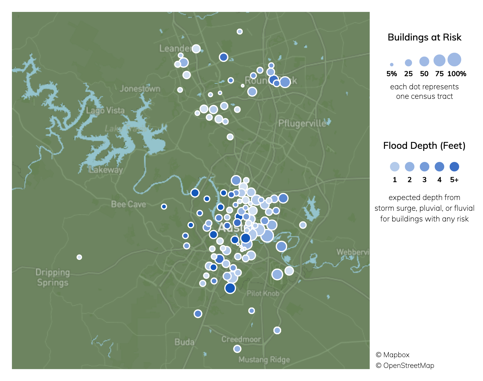 Austin, Texas Climate Change Risks and Hazards: Heat, Precipitation
The “Oh Snap” Factor: Comparing Austin to a Sponge
Some parts of Austin are like a dry crust of bread—they shed water fast. Others are like a soggy camp towel, holding onto every drop. The map shows these different personalities. West Austin’s limestone hills? Water runs off them like a slip-n-slide. East Austin’s clay soil? It soaks up water like a drama sponge at a soap opera.
Ever heard someone say, “But it never floods here”? That’s usually someone who hasn’t looked at the map. It’s the ultimate humblebrag-proof document. Your aunt’s gut feeling means nothing against decades of data.