
Early explorers used triangles and math. In 1856, the Great Trigonometrical Survey of India measured mountains from miles away. They used giant theodolites and huge logs as base lines.
They called it “K2” because it was the second peak listed in the Karakoram range. Peak Number 2. Romantic, right? No. But it stuck.
Today, we use GPS and radar from airplanes. We bounce signals off the summit. It’s fancy. But the answer is still basically the same as 1856. Sometimes old-school math wins.
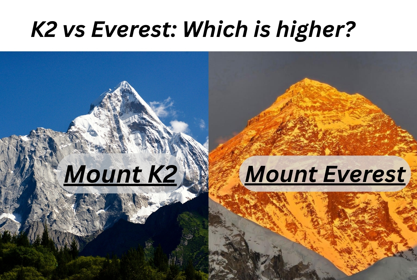 Where is Mountain k2? Mount K2 location and Height